


Newsroom
Fundamental Research
News
06 December 2024
Issue 56 of Science@ifpen - PhD projects and Yves Chauvin Prize
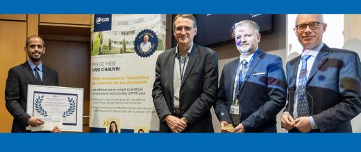
PhD projects and Yves Chauvin Prize

IFPEN
News
04 December 2024
Appointments to IFPEN General Management
IFPEN is pleased to announce the appointment of Cécile Barrère-Tricca as Executive Vice-President, in charge of innovation and economic development, and Benjamin Herzhaft as Executive Vice-President, in charge of research and training.


Fundamental Research
News
22 November 2024
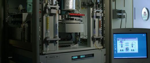
2024 Yves Chauvin Prize: interview with the laureate, Mohammed Bin Jassar

Innovation and Industry
News
30 October 2024